
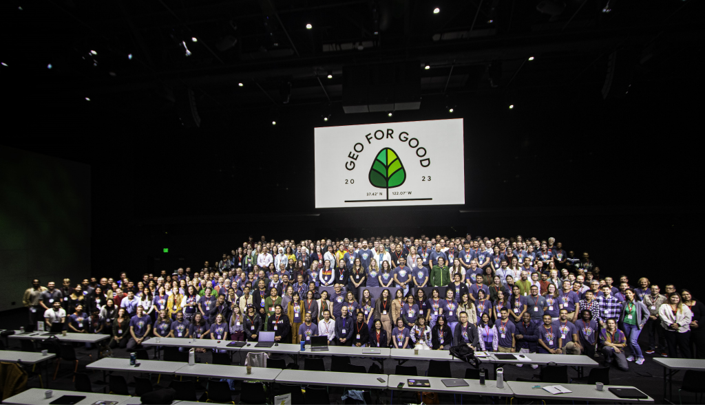
Folks around the world from many backgrounds (Scientists, Companies & Private Sectors, Government & public sector, NGOs, and IPLCs) gather in Google BayView Campus, Mountain View, California to discuss and disseminate their work regarding environmental issues and how google tools can improve them. There are three main focuses on this year’s event which are mitigation and adaptation of climate change, and environmental protection. Apart from that google also presents their latest update on technical work and tools on how we can implement it. All of this discussion was divided into many plenary and sub-plenary sessions with total of three days.
Forest Watch Indonesia (FWI) has been an active member of this event since 2016, bringing Indonesian forest stories to others folks around the globe and how we can exchange knowledge on how to use google tools help in many derivatives work that we currently work on, for example how artificial intelligence can be used as a model prediction on land cover management, accessing different types of satellite data, challenges that every country have, and etc. This year we focused on the improvement of our current methodology on predicting forest cover, data usage, and finding different types of forestry related tools that we can access to simplify our work in Indonesia.
The events was officially started with the presentation of Rebecca moore, Directorof Google Earth, Earth Engine, and Environmental Insights Explorer presenting world biggest environmental issues (climate change and biodiversity loss) and how countries are moving forward on resolving this issues by several international pledges, rebecca also shared some of successful work of google partners on this issues.
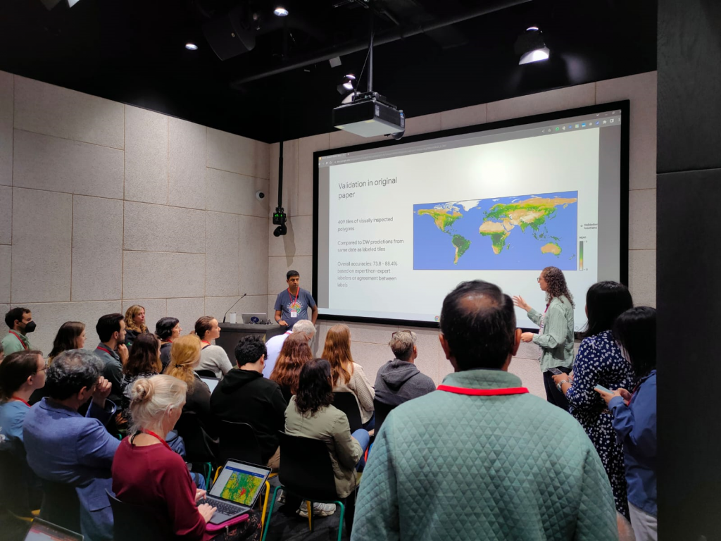
Then we continued to attend the Dynamic World and Land cover probabilities session, the Artificial Intelligence approach on predicting near real time global land use and cover data and how the model was evaluated on the ground. This land use and land cover model has been used in many different applications such as predicting perennial biomass, improving agricultural and rural statistics, commodity supply chain and other). This model will have a great impact if implemented and downscaled on countries level such as Indonesia because currently not much model that predict realtime land cover and land use, with some tweak on this model can ease the forest monitoring process to better understand the dynamics histories of land use and landcover in indonesia and how we improve the protection.
The next sub-plenary that we attended on the first day was how to compute very large amount of spatial data on earth engine, this has been one of Forest Watch Indonesia difficulties in the past year while we produce forest cover data by using very high resolution NICFI Tropical Satellite data (Spatial resolution of 4.7m). Mike Dixon, Earth Engine developer explained the key things on working on large computation data such as using a small time range, smaller region as experiment, arbitrary subset, reducer and filter tool to fasten our work in earth engine. There were also some lightning talks on the first day of the event, we focused on climate mitigation. The talks focused on predicting high carbon areas, wildfire, and also deforestation alerts, the day ended with plenary and several demos on the apps.
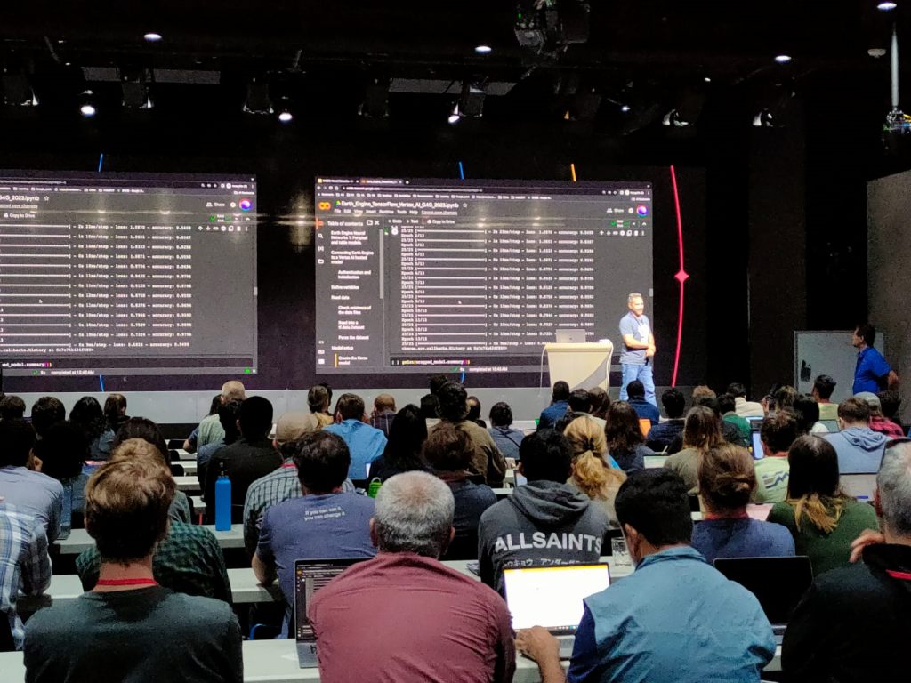
Day two focused on technical advancement that google can provide to the user, we attended the deep learning model hands-on using neural networks to predict land cover data using google collabs and cloud, where we can build large training dataset and deploy prediction models in a more convenient way where at that moment using Vertex AI. Deep learning land classification is believed to have a higher level of accuracy compared to the machine learning that we currently use, although we have not found a significant difference. Deep learning models that have been trained hundreds or even thousands of times can provide new insights into the classification results and FWI wants to learn more about this. Despite the advantages of deep learning, there are also some disadvantages, because of the high load of data and processing deep learning requires bigger computation and storage, you need to have an active subscription on google cloud to actually implement them in google collabs.
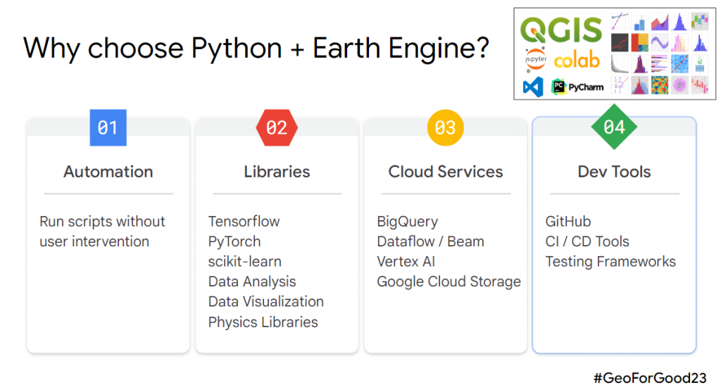
The next session that we attended on day two is extending earth engines python experience with GEEMap by Qiusheng Wu and Justin Braaten (University of Tennessee, Google Outreach). GEE map is also one of the anticipated platforms for earth engine users because this platform can bring earth engine to a different level by using python script, which is known as a more flexible coding language. Users can import all of the earth engine algorithm and directly translate their Earth Engine script directly to GEEMap using script converter and experience the similar interface with earth engine code editor where we can manage and edit layers, select basemaps and a lot more feature to be explore (Find out more on the GEEMap Book https://locatepress.com/book/gee). We also attended the Collect Earth Online (CEO)session, which is also strongly related to FWI’s current work on predicting forest cover Indonesia which we need to gather large amount of training data. CEO basically is a cloud-based platform to gather all information on the ground accurately so that it can be used for further analysis. It will make work like image classification can be done more efficiently with a bunch of other features. CEO also integrated with google earth engine so all the data can be directly imported
The final day of Geo for Good was filled with thematic discussions. EUDR zero deforestation policies, REDD (Reducing Emission from Deforestation and Degradation), forest agriculture & sustainable sourcing are some of the main themes but the thirty by thirty post-2020 global biodiversity framework was the main session that we attended as it strongly aligned with FWI agenda. We are thrilled to have various platforms from other organizations to assist our work at the national level regarding the implementation of this international pledge both related to protecting ecosystems and also species distribution. Data such as ecosystem integrity presented by David Theobald provide the coverage of the natural ecosystem and assess the connectivity of these areas in the whole world, making it easier to monitor forest fragmentation and area management. Other presenter Kendal Jones uses the existing intact forest, Key Biodiversity Areas (KBA), High Carbon Stock (HCS), and existing cropland to predict global biophysical potential for forest restoration that can be a baseline for stakeholders and indigenous people to prioritize restoration areas.
There are a lot of new opportunities coming from Geo for Good 2023 to solve multiple environmental issues. People are looking forward to sustainability and technology can be used as a strong tool to monitor, evaluate and ease the process. EUDR, REDD, 30×30 are some of the world’s commitments to support this, but how these policies were implemented at the national or regional level need to have special attention. All the data and process need to be transparent, and all the Scientists, Companies & Private Sectors, Government & public sector, NGOs, and IPLCs need to work together in participative manner