

The Land and Carbon Lab’s Summit 2023 was an event hosted by the World Resources Institute (WRI) in partnership with several partners such as the BEZOS Earth Fund and also NICFI. The summit focused on how to optimize the use of technology and data to address climate change, monitor natural resources, and promote the use of data and technology in realizing sustainable development. This initiative was participated by people from various decision-making backgrounds including policymakers, CSOs, academics, civil society, engineers, programmers, tech companies, and indigenous communities. The summit event lasted for three days and featured a variety of sessions, including keynote presentations, panel discussions, and breakout room sessions on topics such as Community-Led Land Stewardship, Conversion-Free Supply Chains, Cities and Urbanization, Cross-cutting Data and Technology Sessions, Deforestation and Nature Crime, Global targets, Landscape Restoration, Policy and Finance for Nature-based Solutions, and Sustainable Food Future.
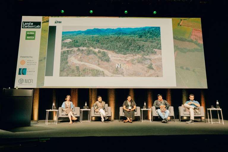
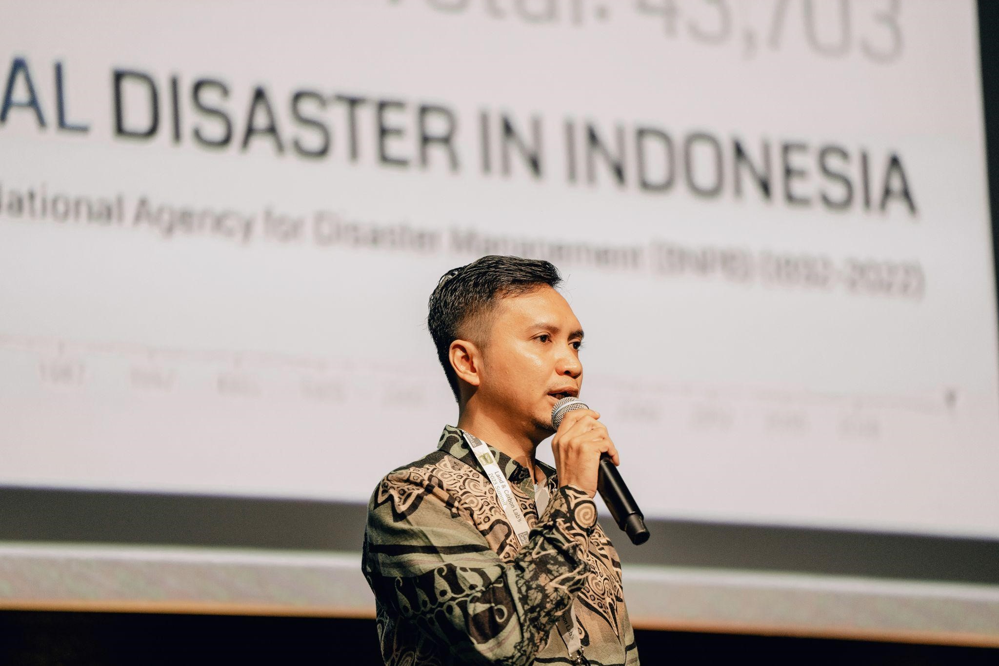
In this event, Forest Watch Indonesia participated as one of the speakers on the theme: Community-Led Land Stewardship and Nature Crime. In this session, Mufti Barri, the Executive Director of Forest Watch Indonesia, attended as a speaker. The topic presented was related to the role of how data and technology played a role in forest monitoring activities for indigenous communities in the Aru Islands. The Aru Islands are one of the districts in Maluku. The Aru Islands themselves are a cluster of islands with hundreds of islands within them. The indigenous communities living in this district are scattered on these islands. The Aru Islands have a history of threats from large companies seeking to expand into these islands. Among them are threats from sugar cane, palm oil, and cattle farming companies. In addition to the threats from companies attempting to expand their territories in the Aru Islands, the challenge present in land protection in Aru is the limitation in communication, which would hinder reporting efforts in case of indications of illegal activities, especially in natural resource management in Aru. Forest Watch Indonesia then identified this GAP and initiated collaboration with local communities in Aru to conduct area monitoring efforts. The activities conducted include raising public awareness of the Aru Islands, through the #SaveAru campaign, and also increasing the capacity of indigenous communities in Aru by providing forest monitoring training.

FWI’s collaboration with indigenous communities in Aru is through information synergy, FWI provides spatial data/information and remote sensing analysis on areas that may potentially have illegal activities, while communities provide information on field evidence/findings that can be used in reporting illegal activities. This synergy has had a positive impact, in 2018, the shipment of illegal wood from the Aru Islands was successfully stopped at the Port of Surabaya. This is a significant achievement in forest monitoring activities, to actions against deforestation. Besides sharing the success story of monitoring in 2018, at this event, FWI also shared experiences in providing forest monitoring training to indigenous communities in the Aru Islands. The training activities include providing materials related to SVLK and forest monitoring, the use of forest monitoring tools such as forestwatcher, and training on making complaint reports related to illegal activities in forest management.
In addition to providing success stories about forest monitoring in the Aru Islands, during the summit, Forest Watch Indonesia also had the opportunity to be present as one of the exhibitors on the last day. In this exhibition, the Forest Watch Indonesia booth presented the approach used in forest monitoring activities, namely the evidence-based forest monitoring method. This approach is a combination of remote sensing technology usage with field investigations conducted by the indigenous communities themselves. FWI provides data that can be used for ground checking such as coordinates and location conditions suspected of illegal activities, while the field team gathers field evidence which is then sent back to FWI for further analysis. With this method, it is hoped to provide a better understanding of conditions in the field which can help in the process of making complaint reports. Additionally, with this method, it is hoped to complement or provide input on deforestation points that cannot be covered by image-based alert systems such as GLADD.