Forest Watch Indonesia or FWI is a non-governmental organization working in the field of forest monitoring. Some of FWI’s main programs include monitoring forest conditions and illegal practices, advocacy and campaigns to promote improvements in forest governance, community empowerment in forest monitoring and sustainable forest management, and promoting sustainable forest management. To support these programs, one of FWI’s focuses is on spatial data processing using spatial tools such as ArcMap, ArcGIS Pro, GEE, and so on. As an NGO with expertise in spatial data processing, FWI was invited by JKPP to provide input on a platform by Cadasta, namely ArcGIS Survey123.
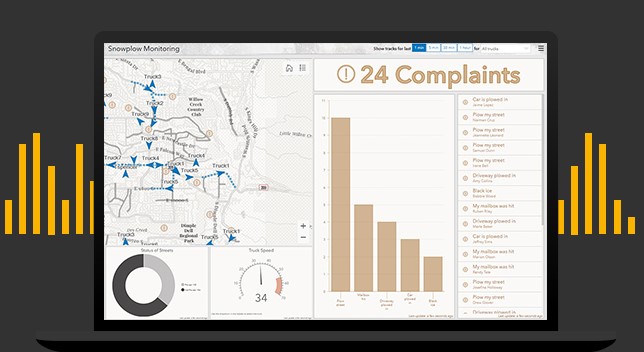
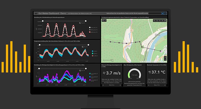
This activity took place on Wednesday-Thursday, January 24th-25th, 2024. This event was attended by Cadasta,Participatory Mapping Network (JKPP), Indonesian Institute for Forest and Environment (RMI), Indigenous Peoples Alliance (AMAN), and FWI. The first day’s agenda consists of the Introduction of JKPP and its scope of work, a discussion on data in Indonesia, introductions from the attending participants, and an introduction to the Cadasta Platform. The event was opened by Bang Ajis, a representative from JKPP, followed by Pak Imam the head of JKPP who talked about the scope of JKPP’s work and explained how JKPP acquires, manages, and presents data. The Cadasta platform, represented by Pano Skrivanos as the Senior Manager for Community Land and Climate and Juan Pablo as the Technology Director, aims to offer solutions through ArcGIS Survey123. ArcGIS Survey123 is one of the tools supported by ESRI for field data collection that is directly connected with ArcGIS Online or Enterprise. The collected data can be automatically analyzed and visualized, then displayed directly on ArcGIS Dashboards, which are customizable according to needs. In its application, ArcGIS Survey123 can be utilized on both Android and iOS platforms for free. However, organizing data requires the use of ArcGIS Online or ArcGIS Enterprise licenses. On ArcGIS Dashboard, maps, statistical data, and descriptions of a dataset can be displayed. The results from ArcGIS Survey123 can be exported into various file formats as needed.